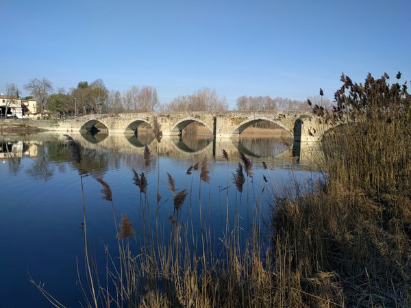
- 🇮🇹
- 🇬🇧
What follows is a description of the sections of the route, travelling from Reggello to Arezzo.
The route starts from Pieve a Pitiana, 8km West of Reggello
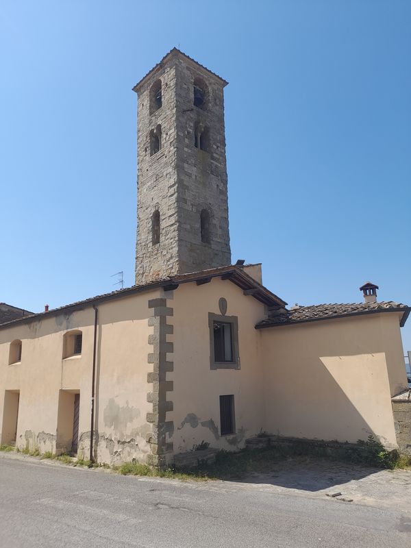
From Pitiana, you initially head uphill, then descend, following sections of track and road as far as San Donato in Fronzano.
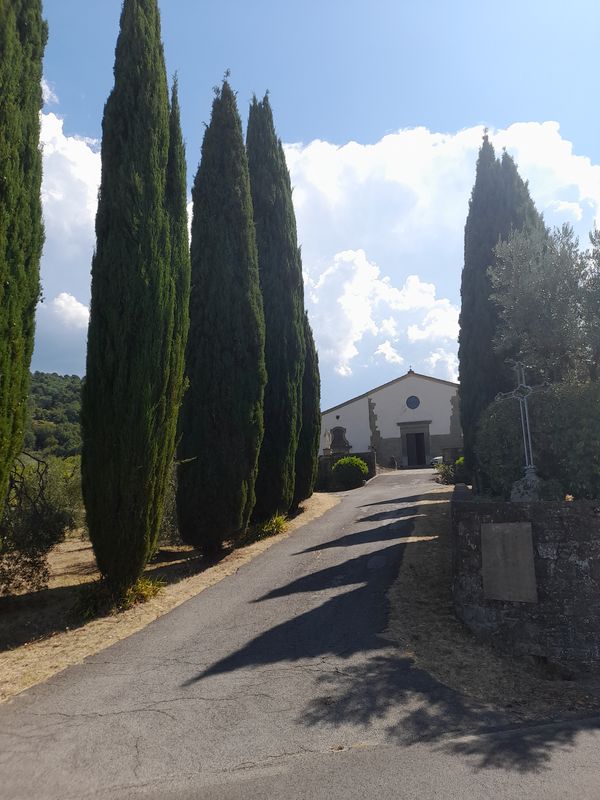
From San Donato you pass the castle 'I Bonsi'

and then reach Sant'Agata.
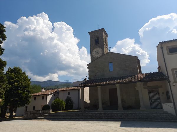
You then cross the Chiesimone stream to Giubbiani and climb up to Reggello.
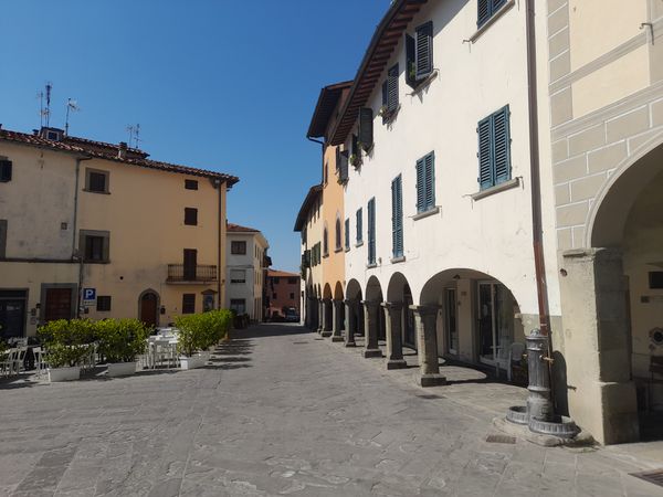
After Reggello, comes Cascia, just 1km down the road.
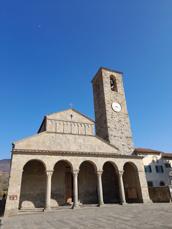
From Cascia, you follow a small road to San Giovenale and cross the XVI century humpback bridge.
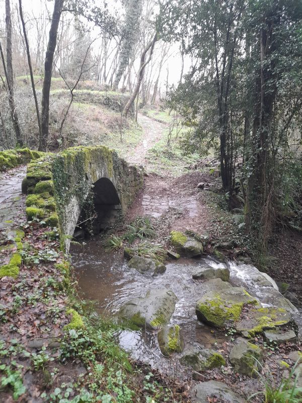
Then, the ancient stone road takes you to the Medici villa of Mandri where you cross the via Setteponti for the first time.
A path through the woods takes us back on to a small road which leads to Casa Biondo.
Another looping track then leads to Campiano di Sotto and then down to Pian di Scò.
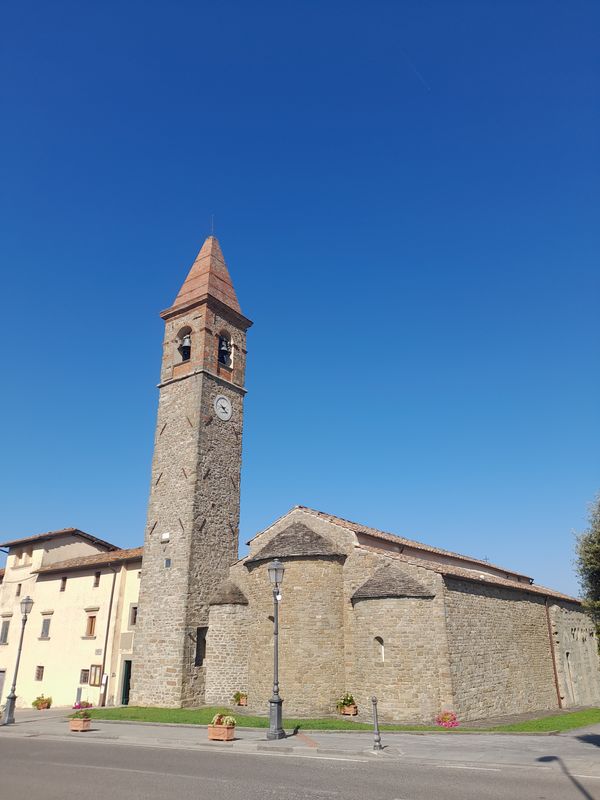
From Pian di Scò, the ideal route would lead down to the old Florentine Road, now a footpath that leads up to Castelfranco di Sopra.
Unfortunately, a landslide on the footpath has meant the the path has been closed for the last few years.
For this reason, from Pian di Scò, the route follows the Setteponti road itself as far as Castelfranco.
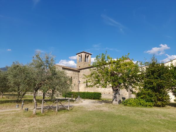
After Castelfranco is one of the treats of the whole walk, as you drop down to see the best part of the Balze rock formations, which stretch from Reggello almost as far as Arezzo.
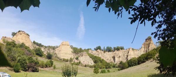
Climbing up from the Balze, you reach Piantravigne, where you can look back and admire the Balze from a higher viewpoint.
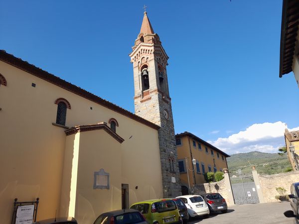
From there, back up to the Setteponti and on to Malva where, after a section of road you dive into the wood and come out in Belpoggio.
Another track leads back to the Setteponti and on to a right fork down to Poggitazzi.
Now, through some fields and a marshy section you reach Montalto.
500m after the Montalto junction, you take a left up 'Strada di Ronta', then follow a gravel track and cross fields until you come out on a road called La Carozzeria.
Following this tiny road leads us down to the Setteponti, beside the Sanctuary of Our Lady of Grace at Montemarciano.
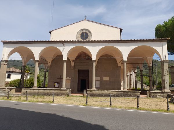
From there, you follow the road down to the village of Montemarciano and then through it's old South gate.
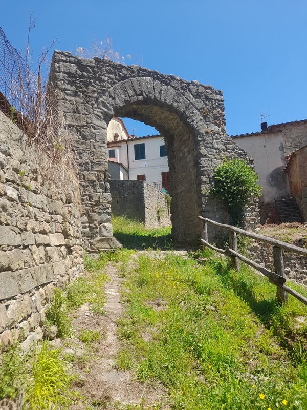
The old road, now a track, leads steeply down to a ford, and from there up a very steep climb to Capolacosta.
Turning left, we follow a broad unpaved road for less than a kilometre. Here a roadside tabernacle marks an old fork in the road. We go left, following a farm track that leads to Loro Ciuffenna.
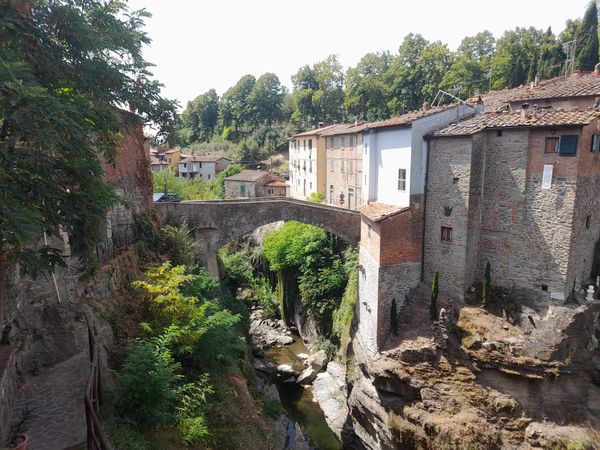
In Loro Ciuffenna, don't miss the spectacular stone bridge
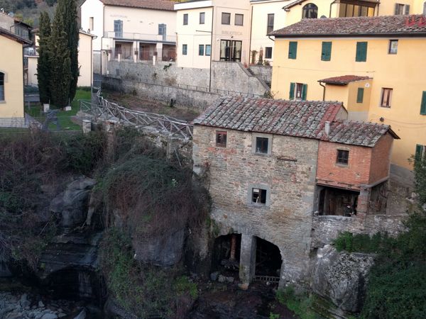
or the ancient water mill
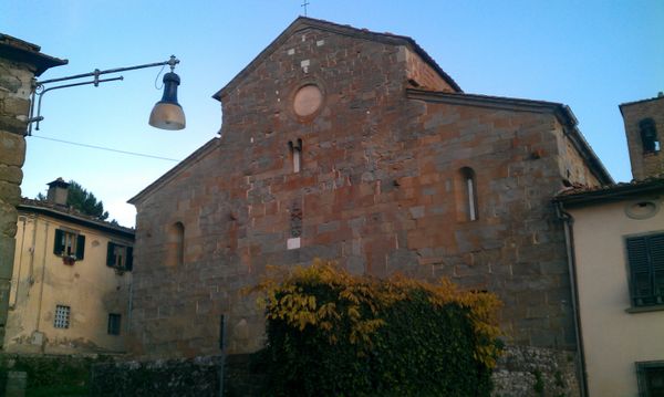
From there, a small road leads up to Gropina, a tiny hamlet famous for its ancient church.
Then, back down across the Setteponti, through a farm and olive groves as far as Montelungo.
Another stretch of Setteponti, with a diversion through Paterna
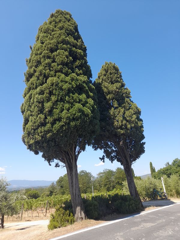
and you leave the road for a long stretch of track that leads to Traiana.
There, a small road leads to Campogialli.
From Campogialli, across the fields and some rough scrub, you reach San Giustino Valdarno.
After a brief stretch of Setteponti, a track leads to a rocky path, then a gravel road as far as Il Borro.
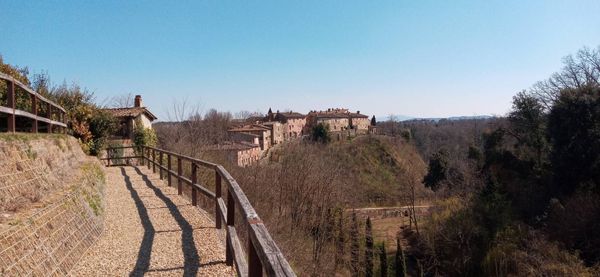
After Il Borro, a long stretch of gravel road brings you out with a view of Castiglion Fibocchi.
From there, via a road and track you pass near Rondine and Doccia, to get to Ponte a Buriano, believed to be the bridge in the background of the Mona Lisa.
